Online or onsite, instructor-led live QGIS training courses in Namur.
Namur, Hotel de Ville
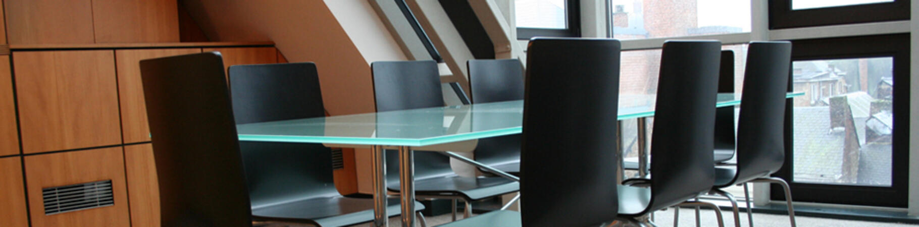
NobleProg Namur, Rue de Fer, 48 , Namur, Belgium, 5000
Namur is a French-speaking city in Belgium, capital of Wallonia since 1986, and capital of the province of Namur. Occupied...
Namur is a French-speaking city in Belgium, capital of Wallonia since 1986, and capital of the province of Namur. Occupied since the Neolithic period, the confluence of the Sambre and the Meuse saw the birth of the Roman city at the beginning of our era. Former stronghold of the Counts of Namur, attached to the house of Luxembourg and then to the Habsburg Empire, the citadel of Namur was the focus of many sieges over the years. Despite the damage suffered by the conflicts, the city retains a rich movable and immovable heritage. Today the regional capital, the city is the seat of the Parliament of Wallonia, the Walloon Government and the Public Service of Wallonia, but also the host city of the International Francophone Film Festival, the fairground arts festival Namur in May, the Festival Verdur Rock.
A geographic information system (GIS) is a system designed to capture, store, manipulate, analyze, manage, and present spatial or geographic data. The acronym GIS is sometimes used for geographic information science (GIScience) to refer to the academic discipline that studies geographic information systems and is a large domain within the broader academic discipline of geoinformatics.
QGIS functions as geographic information system (GIS) software, allowing users to analyze and edit spatial information, in addition to composing and exporting graphical maps. QGIS supports both raster and vector layers; vector data is stored as either point, line, or polygon features. Multiple formats of raster images are supported, and the software can georeference images. To summarize it allows the users to Create, edit, visualise, analyse and publish geospatial information on Windows, Mac, Linux, BSD.
This program, in its first phase, introduces the QGIS interface for general usage. In the second phase, we introduce PyQGIS - the python libraries of QGIS that allows the integration of GIS functionalities in your python code or your python application, so that you may even create your own Python Plugin around a particular GIS functionality.
Read more...
Last Updated:
Testimonials (1)
The trainer adapted the materials and contents to what he thought would be best for us and he succeeded. The quality of the training was excellent.
Online QGIS training in Namur, QGIS training courses in Namur, Weekend QGIS courses in Namur, Evening QGIS training in Namur, QGIS instructor-led in Namur, Evening QGIS courses in Namur, QGIS trainer in Namur, QGIS boot camp in Namur, QGIS instructor in Namur, QGIS classes in Namur, QGIS coaching in Namur, QGIS one on one training in Namur, QGIS private courses in Namur, Online QGIS training in Namur, Weekend QGIS training in Namur, QGIS instructor-led in Namur, QGIS on-site in Namur