Holiday Inn Hasselt, Kattegatstraat 1, Hasselt, Belgium, 3500 Hasselt
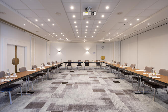
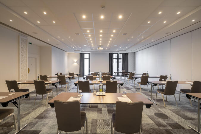
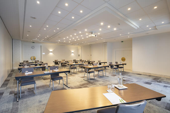
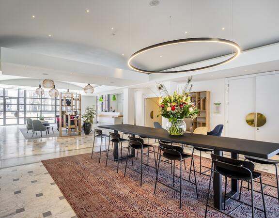
Holiday Inn Hasselt's 5 modern meeting rooms can accommodate up to 250 delegates. All meeting rooms have natural daylight. Free wireless internet throughout the hotel. Welcome coffee and coffee breaks will be served in our lobby by our friendly staff.
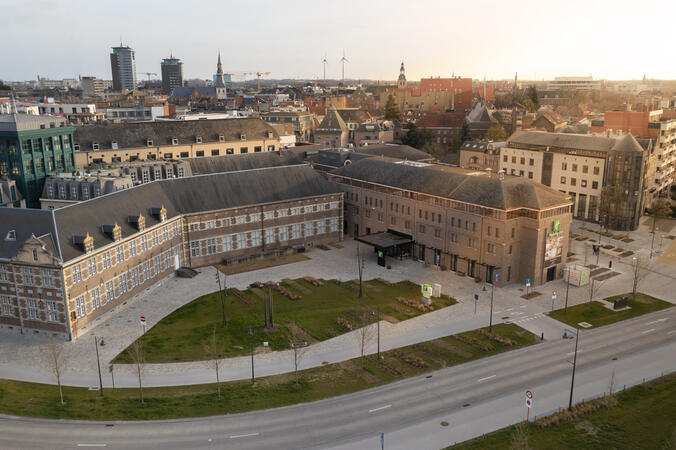
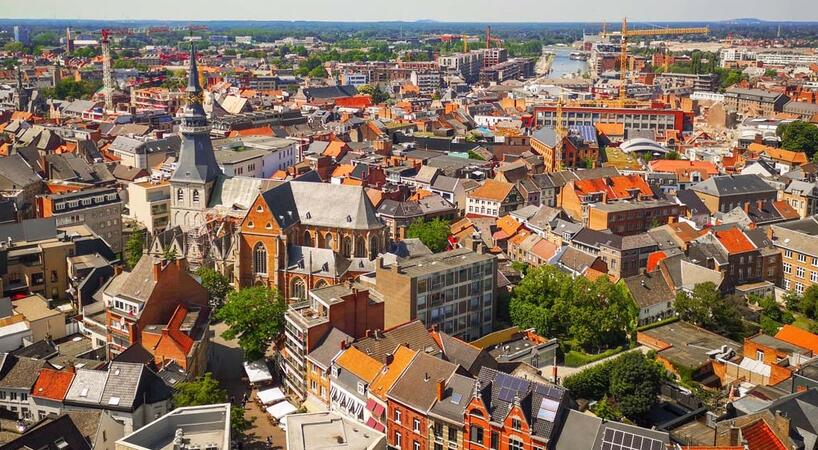
City center hotel, next to the harbour!
Modern Hasselt hotel offers free WiFi, a brasserie, and a mini gym
Holiday Inn® Hasselt places you close to the city's central bars and restaurants. A 10-minute walk away, Hasselt station is served by local and regional trains. Hotel guests enjoy on-site parking discounts. Brussels Airport is a 50-minute drive away and Liège Airport is just 35 minutes away.
Around the corner from the hotel, Modemuseum Hasselt traces the history of fashion with collections from the 18th century to the present. Five minutes away, the Jenevermuseum examines jenever, Belgium's juniper-flavoured national liquor. Stroll past cherry trees and koi ponds in the Japanese Garden, a 20-minute walk from the hotel. Opposite the park, the Trixxo Arena hosts international concert and event programmes.
Here for work? Host up to 250 delegates in the hotel's five naturally lit meeting rooms. Catering is available upon request and there's free WiFi throughout the hotel.
Enjoy city or canal views from the stylish guestrooms of this welcoming hotel where kids stay and eat free. Start your day with a buffet breakfast in the hotel's modern Brasserie De Boulevard, and enjoy our traditional Belgian cuisine. Unwind with a mini gym workout or a sauna session before meeting friends for drinks at the bar.