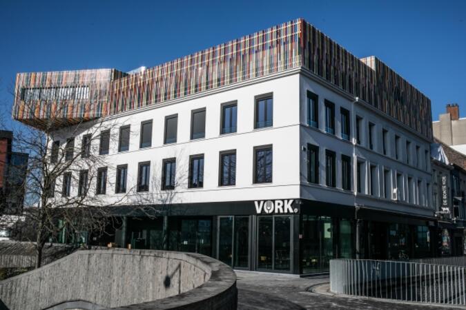
VORK, Doorniksestraat 60, Courtray, Belgium, 8500 Kortrijk
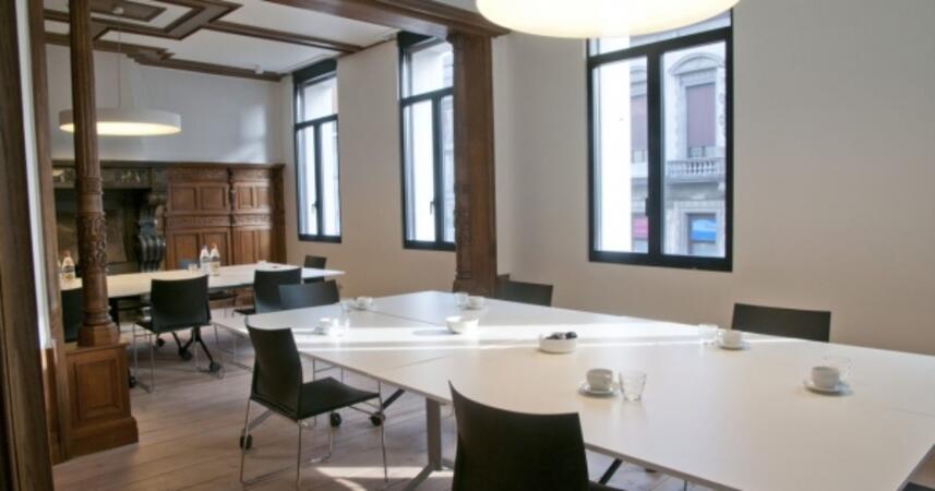
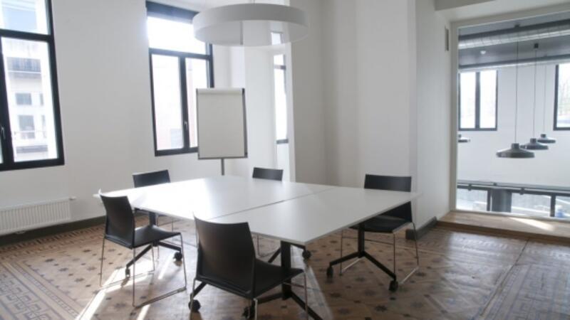
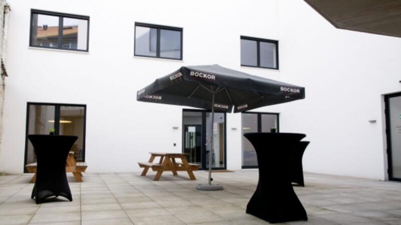
You can rent 3 meeting rooms and an indoor terrace in VORK. Coffee, tea and water are always available. Everything is there to prepare the meeting rooms yourself.
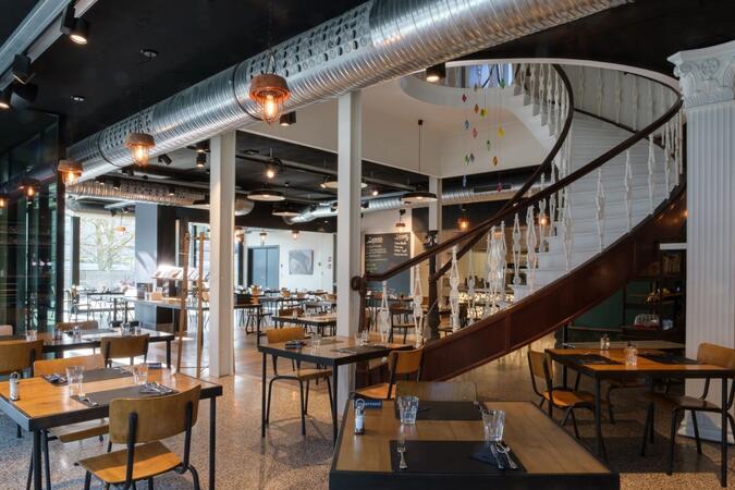
Would you like a sandwich lunch? Or would you like to combine your meeting with a lunch in the restaurant? It's all possible in VORK!
Everything is available to prepare the meeting rooms yourself. Possibility of lunch (e.g. soup, sandwiches, etc.) or dinner in the restaurant after consultation with the restaurant manager.
Additional facilities: clickshare available, video conference option.
VORK is centrally located in the city and is therefore easily accessible on foot, by bicycle or by public transport. If you come by car, you can park underground or above ground at the following locations:
Underground: Schouwburg parking, Veemarkt parking, K in Kortrijk, Budabrug parking, Houtmarkt parking
Above ground: Station (Conservatoriumplein), Broeltorens (Ijzerkaai), Harbor (Botenkopersstraat), Kortrijk Weide (Nelson Mandelaplein).
The first hour is always free! If you park for longer than one hour, you will have to pay (from €1).
You can also park your car for free at Parking Expo (P+R) and take a free bus from De Lijn to the center. Redeem ticket with the bus driver: free parking + return ticket to the city center.
More information at www.parko.be